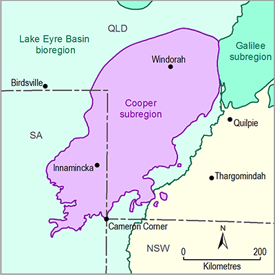
Wetlands in large areas of the Cooper PAE are not adequately mapped. There is uncertainty about mapping in much of the PAE; the data have often not been validated by ground truthing to verify the accuracy of desktop-based assessments. The separation between groundwater-dependent and surface water-dependent wetlands may not always be accurate. There is also a likelihood of differences in understanding of GDEs across state borders. In many areas there is little knowledge of surface water – groundwater interactions.
Subsurface groundwater-dependent ecosystems (SGDEs) have not been adequately surveyed within the PAE and are not adequately represented in the landscape classification process. This is known to be a widespread issue (e.g. Tomlinson and Boulton, 2010). Specific landscape features are often not adequately mapped. An example of a gap in knowledge is the mapping of waterholes and rockholes within the Cooper PAE. Such gaps are likely to be widespread.

