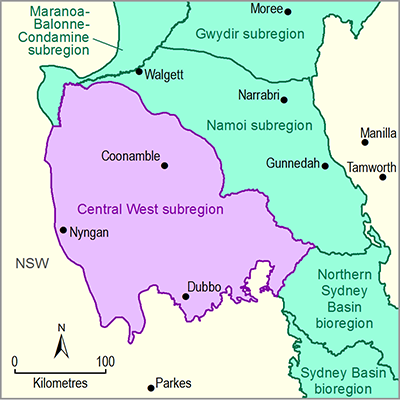
Many of the economic asset polygons in NSW include a negligible portion of the entire asset polygon within the subregion, which is mostly an artefact of the geographic information system (GIS) overlaying process. Therefore, many of these NSW economic assets are included in the asset database, even if only a negligible portion of a polygon overlaps within the subregion.
Floodplain harvesting has been identified in other NSW bioregions as an economic asset. Floodplain harvesting water storages are in the process of being digitised by the NSW Office of Water, but were not available for inclusion in the water-dependent asset register at this time.
The surface water access entitlement data received from NSW Office of Water do not include details of the river reach where the offtake was located; instead they include the water source and water management zone associated with the WSP. A water source can be any set of rivers, aquifers or lakes and the like, which are defined by a gazetted WSP to be a water source. Therefore, when the elements are aggregated into the assets, water access entitlements are grouped together across the water source area (a large polygon). This will need to be taken into account when assigning receptor locations as the water source may include multiple river reaches and potentially multiple river branches.

