Summary
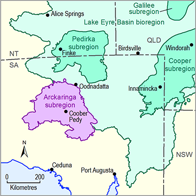
This product identifies known sources of data and information on the current water accounts of the Arckaringa subregion, and outlines some key references. Surface water systems in the Arckaringa subregion are unregulated and ephemeral, and surface flows typically occur only following high-intensity rain events. Consequently, there are no current surface water allocations in this subregion.
Groundwater is the most important source of water in the Arckaringa subregion, and is used for a variety of purposes including mining, stock and domestic use, and town water supply. Most groundwater is extracted from aquifers of the Great Artesian Basin (GAB), or the Arckaringa Basin. Groundwater in most of the subregion is managed by the South Australian Government (SA Government) under the Far North Prescribed Wells Area (PWA) Water Allocation Plan.

