The causal network identifies activities, stressors and processes from unconventional gas resource development that may lead to changes in endpoints related to water and the environment. Monitoring is critical for evaluating changes in a system associated with specific known impacts (Gitzen et al., 2012). The causal network identifies particular points along a pathway where monitoring would be most useful.
Results from the impact assessment informed 4 broad monitoring objectives: (i) estimating baseline and trend, (ii) comparing areas of potential impact with areas where no changes occur (control sites), (iii) monitoring compliance with, and effectiveness of, mitigation strategies, and (iv) monitoring to validate and refine the causal network.
Specific monitoring objectives define the attributes to be measured, the spatial domain, timeframe of monitoring and detection of the magnitude of change. Selection of attributes for each of the monitoring objectives is based on ‘measurement endpoints’ and ‘environmental condition indicators’ associated with the causal network. As defined in Section 3.1, a measurement endpoint is a measurable attribute of the ‘assessment endpoint’ associated with a link from a process to an endpoint. An example is the ‘number of mature Australian painted snipe individuals’, which is a measurement endpoint for the assessment endpoint persistance of Australian painted snipe . Persistence of Australian painted snipe is linked to processes in the causal network, such as mortality of native species and habitat degradation, fragmentation and loss.
Environmental condition indicators are attributes of stressors or processes that are relevant to, but not directly related to or linked to, an endpoint. An example of an environmental condition indicator is the area burned by bushfire, which is an attribute of the ecosystem burning process node. Ecosystem burning links to the endpoint ‘persistence of Australian painted snipe’ through changes to habitat degradation, fragmentation and loss . Environmental condition indicators are often measured at a regional scale and relate to many endpoints.
Estimating baseline and trend
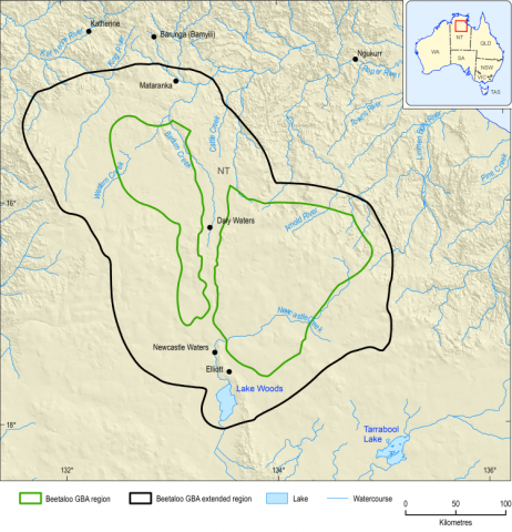
Baseline data establish the condition of endpoints related to water and the environment prior to unconventional gas resource development. Regional-scale data were compiled in the baseline synthesis and gap analysis for the Beetaloo GBA region (Huddlestone-Holmes et al., 2020). Future unconventional gas resource development proposals would require additional monitoring to provide local-scale baseline data on measurement endpoints and environmental condition indicators, which can include the extent and condition of the endpoint.
Protected flora and fauna endpoints have measurement endpoints that relate to the abundance of the species and are based on the criteria for listing outlined in the EPBC Act. These are supplemented by environmental condition indicators, such as habitat extent, surface water quality and streamflow.
Aquifer condition endpoints have measurement endpoints that relate to groundwater chemistry and aquifer levels or pressures. These are supplemented by environmental condition indicators, such as soil chemistry to detect soil contamination that could spread into unconfined aquifers.
Environment-related endpoints pertaining to landscape classes have measurement endpoints that relate to vegetation extent or condition. Relevant environmental condition indicators include vegetation cover, streamflow, surface water quality, soil chemistry, area of bare ground and area affected by bushfire.
Comparing impact versus control sites
For areas where multiple stressors overlap, the true impact of resource development can only be measured by comparing areas that are affected with areas that are not directly affected (control sites). Control sites are ideally those that are almost identical in nature to the sites that are affected (with the same habitat and environmental pressures). In the absence of specific development proposals, it is not possible to provide local advice on which areas would be suitable for impact monitoring and which would be suitable as control sites. At a regional scale, locations where no or few processes lead to pathways of ‘potential concern’ are prime locations to establish regional control sites. Locations potentially affected by multiple stressors of ‘potential concern’ are preferred locations to establish regional impact sites. The final location of control and impact sites for any local monitoring design will depend on the location and footprint of the proposed unconventional gas resource development.
Monitoring compliance with and effectiveness of mitigation strategies
Monitoring for compliance evaluates operator adherence to legal requirements. Australian Government and Northern Territory Government regulators monitor this compliance. For example, the Petroleum (Environment) Regulations 2016 requires reporting against environmental performance standards, the Monitoring and compliance strategy for onshore petroleum (DPIR and DENR, 2019) sets out schedules for monitoring of compliance, the Code (Northern Territory Government, 2019c) has specific monitoring requirements for many aspects of resource development and the Australian Government’s Industrial Chemicals Act 2019 requires notification and assessment for the use of industrial chemicals.
Monitoring for effectiveness of specific mitigation strategies to ensure they are achieving their environmental protection objectives is also regulated. For example, Schedule 1 of the Petroleum (Environment) Regulations 2016 outlines what an environmental management plan must contain, including an implementation strategy where monitoring ‘…can be audited against the environmental performance standards and measurement criteria specified in the plan…’. This monitoring is done and reported on by the operator, with compliance checks conducted by the regulator. In the causal network, monitoring for effectiveness of mitigation strategies can be identified for the links along pathways. Mitigation strategies are based on existing gas industry controls and regulatory approval conditions, effective planning and design, and adherence to best-practice international standards and procedures. Site management protocols aim to avoid or mitigate potential impacts on natural habitat and species distributions. However, wherever development occurs – particularly in the vicinity of protected species – monitoring of compliance with, and effectiveness of, mitigation strategies associated with activities and stressors is needed. Here, rather than focusing on extrapolating inference to the broader region, the intention is to closely monitor targeted sites at a local level where an impact or change is most likely to occur. Compliance monitoring is advised for mitigation strategies associated with links between activities and stressors, while the environmental condition indicators associated with links from stressors to processes are good candidates to monitor effectiveness of mitigation strategies associated with a stressor.
Monitoring to validate and refine the causal network
Monitoring of environmental condition indicators related to links between stressors and processes along pathways of concern in the causal network can improve understanding and confidence in the assessment and evaluation of individual links. Future monitoring could reduce uncertainty in critical links along pathways by increasing confidence in the cause-and-effect relationship or providing more information on material thresholds. Monitoring designs to evaluate causation are challenging. Even when data from monitoring reveal strong associations, correlations do not always indicate causation, unless the monitoring program has been designed to allow this to be estimated. Hayes et al. (2019) provide guidance on monitoring designs to establish causation.
FIND MORE INFORMATION