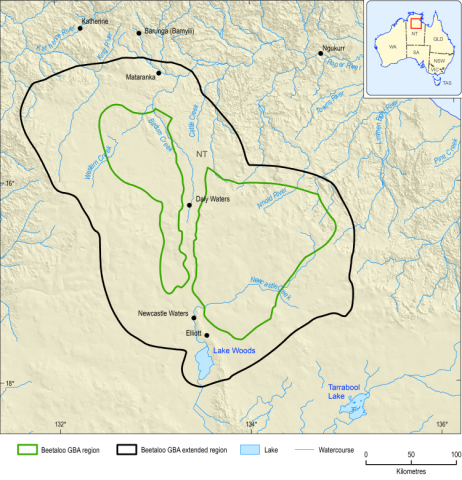
The GBA Program was extended through allocated additional funding in the 2019–20 federal budget for activities to support the delivery of the Beetaloo GBA region assessment and the Northern Territory’s Strategic Regional Environmental and Baseline Assessment. These activities were:
Baseline ecological surveys to undertake regional ecosystem-scale vegetation mapping, to improve understanding of terrestrial and aquatic ecosystems in the region and to test sampling methodologies and processes to support the roll-out of Strategic Regional Environmental and Baseline Assessments. The surveys also targeted threatened species providing new records and improved understanding of habitat of the Gouldian finch, crested shrike-tit (northern) and greater bilby. The occurrence of the Gulf snapping turtle in the region was also established during these surveys. The final report for this project will be available on the Geological and Bioregional Assessment Program website
.
Water characterisation and discharge studies from the Cambrian Limestone Aquifer. This work investigated the relative significance of different hydrogeological processes that contribute to water flows in the Cambrian Limestone Aquifer and at Mataranka Thermal Pools through tracer studies ( Box 2 ). This will help to improve understanding of the contribution of regional and local recharge pathways, karst processes and whether there is any deep groundwater contribution to the Cambrian Limestone Aquifer. A large number of fact sheets and datasets are associated with this work (Geological and Bioregional Assessment Program, 2021k, 2021e, 2021j, 2021a, 2021r, 2021n, 2021c, 2021l).
A study that used a range of remote sensing approaches, including terrestrial and spaceborne LiDAR (Light Detection and Ranging), to develop approaches to monitoring changes in condition of habitat of selected protected matters: especially the Gouldian finch and crested shrike-tit (northern). This study sought to develop long-term approaches for remote monitoring of changes in extent and condition of habitat of key species (Geological and Bioregional Assessment Program, 2021d) .
The
Beetaloo Sub-basin Seismic Monitoring Project, undertaken by Geoscience Australia, to install a seismic monitoring network in the Beetaloo GBA region. This network will detect and locate natural seismic activity (for example, earthquakes) in the area, as well as monitoring for any human-induced seismicity that could potentially result from unconventional gas activities. This information will be used by Geoscience Australia, the public and other organisations to build knowledge about potential human-induced seismic activity in the region that may be associated with activities such as hydraulic fracturing.
Development of a data management platform for the Northern Territory Government to support management and storage of Strategic Regional Environmental and Baseline Assessment data.